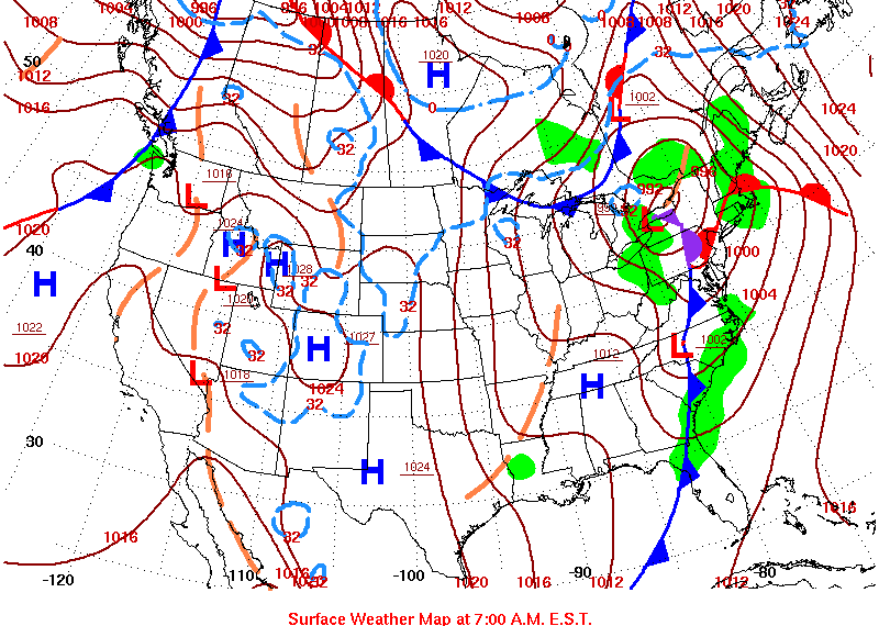
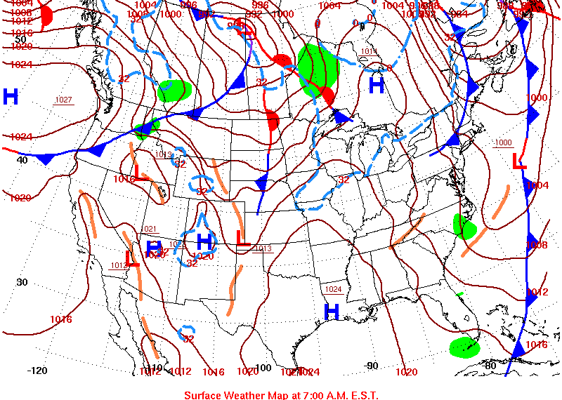
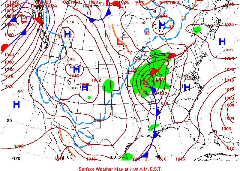
With the charts at the following site:
http://www.hpc.ncep.noaa.gov/dailywxmap/index_20140413.html
it may be possible to compare the events leading up to OK quakes arranged by date. I am presuming the servers involved are showing them in the order I selected them. There is no accounting according to legend. I have no idea why they are not dated:
2010-Feb-27 Marble City 4.3 35.6 -94.9


2010-Oct-13 Langston 4.2 35.89019 -97.26905
Damn!
I just realised the other chart has a date on it and I have to collect them all over again.
2010-Nov-24 Marshall 4.2 36.12546 -97.63979
2011-Nov-05 Wellston 4.2 35.68074 -97.09777
2011-Nov-06 Prague 5.6 35.53162 -96.77137
2011-Nov-06 Coalpont lake 4.2 34.676 -96.499
2011-Nov-08 NE Faxon 4.2 34.5 -98.5
2011-Nov-06 Coalpont lake 4.2 34.676 -96.499
2011-Nov-08 NE Faxon 4.2 34.5 -98.5


2012-Apr-03 Langston 4.1 35.89254 -97.29209
2013-Apr-16 Guthrie 4.1 35.77453 -97.48264
2013-Apr-16 Marshall 4.1 36.13124 -97.63078
2013-Dec-07 Langston 4.1 35.89136 -97.29668
2013-Dec-29 Prauge 4.1 35.535 -96.757
2014-Feb-09 Marshall 4.0 36.13519 -97.62569
2014-Mar-30 Lindsay 4.0 34.761 -97.55
2014-Mar-30 Ada 4.0 34.8 -96.7
2014-Mar-30 El Reno 4.0 35.5 -98
2014-Apr-05 Antioch 4.1 34.712 -97.542
2014-Apr-06 Wilburton 4.1 34.9 -95.3
2014-Apr-07 Catoosa 4.1 36.2 -95.8
2014-Apr-10 Prauge 4.0 35.519 -96.784